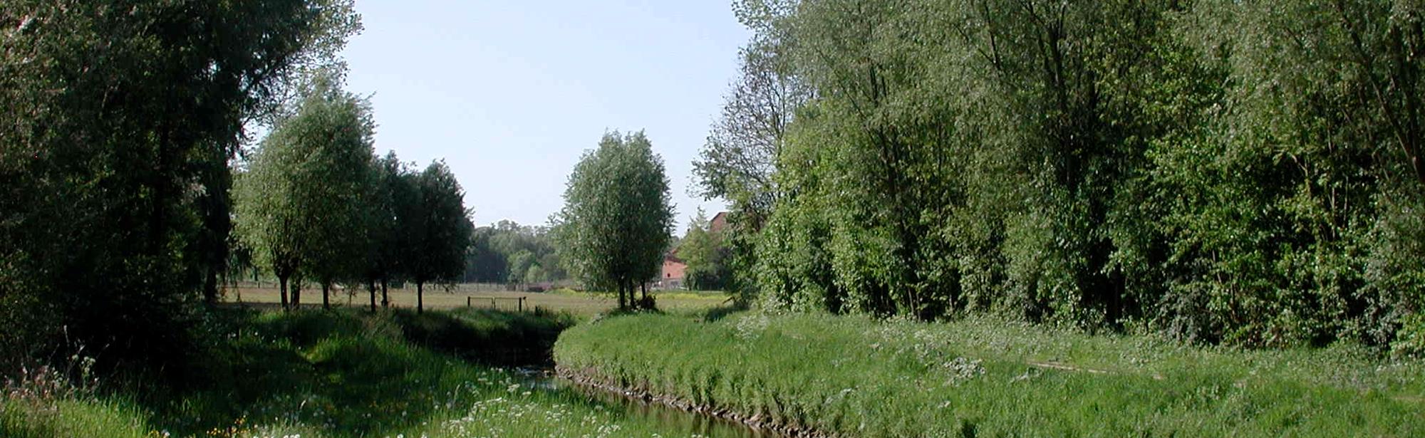
The Kakkert is a side stream on the right bank of the Geleenbeek.
The Kakkert rises as the "Oirsbeek" (nicknamed the "Vloot") in Oirsbeek and flows into the Geleenbeek in Schinnen. The total length is approximately three kilometers. The stream flows through a valley that was formed centuries ago by erosion by the Meuse in the Plateau of Doenrade.
In Oirsbeek, the stream runs completely over. Near the hamlet of Wolfhagen, the stream comes to the surface after which it takes the name "Kakkert" because of the rusty brown color of the water.[1] The stream flows through the Wolfhagerbos. Along the banks are marshy areas in which various springs and seepages are located, which are created under the pressure of the plateau. The river flows into the Geleenbeek near the fishing pond in Schinnen.
This text has been automatically translated using an online translation service.
Itineraries in the area
Interesting in this area!
Welcome to Zuid-Limburg!
It’s great that you are here to be inspired!
We use cookies for the purposes of analysing our
website and improving functionality.
Do you want to discover Zuid-Limburg to the maximum?
For further information, please read our cookies policy.
Cookies are small files of information stored by your browser on your computer whenever you visit a website, and that are used, for example, to remember your personal preferences. They provide us with information about how you use our website. We can then continue to improve the website and make it even easier for you to discover Zuid-Limburg.
Functional cookies
For www.visitzuidlimburg.com to function optimally you need cookies. These cookies cannot be switched off and so they are included here for information purposes only. This means that www.visitzuidlimburg.com uses cookies to record whether the website visitor accepts the cookie notice or registers to receive, or not to receive, our newsletter.
Analytical cookies
Analytical cookies provide us with information about the ‘browsing history’ of visitors to our website. We use this information to make our website a little better, day by day. These cookies provide us with an overall picture of surfing behaviour in anonymized form.
Marketing cookies
These cookies help us to tailor advertising to your interests, so that you do not receive irrelevant information.
Personalisation
These cookies enable us to provide you with information that is tailored to your interests, based on the information you were looking for on previous visits to our website.
You can change your cookie settings at any time by changing the settings here or by (locally) deleting the cookies.