The municipality of Landgraaf owes its name to 'the landgraaf', an age-old defense line that can still be seen as a sunken road in the landscape at a number of points. Coming from the Brunsummerheide, the earthenware extends towards Nieuwenhagen, where it disappears near the Kleikoeleweg. The Landgraaf used to run from here all the way to the swamps northeast of Schinveld. Now he lives locally only under the street name 'Oude Landgraaf'. In the past, a very old age was sometimes attributed to the Landgrave.
The pottery would have served as a prehistoric defense line or as a wall for the nearby Iron Age urnfields. Recent archaeological research, however, has shown that the landgrave most likely dates from the second half of the 14th century. The Landgraaf is then located on the edge of the Land van Valkenburg. When Jan van Valkenburg dies without a successor in 1352, this important territory falls into the hands of the Duke of Brabant. He probably set up the landgrave against the aggression of his archenemies, the dukes of Gelre and Jülich.
Thanks to archaeological research, we know that in its functional years the Landgraaf consists of a pointed moat, with an average depth of 2.2 meters and a width of 6.4 meters. With the displaced soil, walls have been erected on both sides of the ditch, so that the total width is about 20 to 22 meters. Impenetrable hedges of thorn-bearing shrubs have been planted and intertwined on top of the ramparts. Attempts to make it through may be discouraged by tripping holes and other obstacles.
Lookout towers are located on higher grounds, from which you can overlook the entire area. In the event of danger, for example, the alarm can be sounded in time with fire signals. It is possible that the high-altitude neighborhood of Lichtenberg still owes its name to such a tower. The system allows local rulers to mobilize their troops against the attackers in time. For the local population, the landgraaf is also an ideal cattle barrier and protection against itinerant bands of robbers and predators.
In later centuries the Landgrave loses his function. Nature is given free rein, the ramparts erode and the spit moat is filled in. The landgrave is now used as a sunken road and people forget by whom and when it was built. Frans Erens (1857-1935), the well-known man of letters from Schaesberg, tells that in his youth it was still believed that Napoleon had dug the Landgrave. Erens then liked to be rolled down the slopes. He deeply regrets that landowners later leveled large parts of the landgrave.
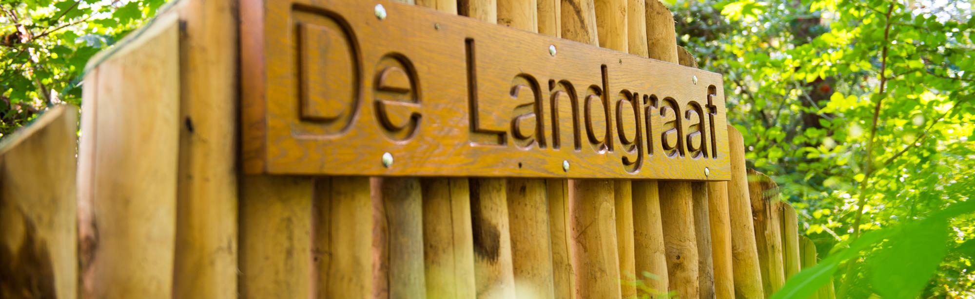
In the course of the 20th century, more pieces of landgrave disappear as a result of mining, sand excavations and housing construction. Yet the landgrave is not forgotten. On December 14, 1980, the collaborating SUN municipalities of Schaesberg, Ubach over Worms and Nieuwenhagen even decided to name the newly established municipality of Landgraaf after the pottery. For example, an age-old symbol of border demarcation has become a symbol of unity and connection.
This text has been automatically translated using an online translation service.
Itineraries in the area
Interesting in this area!
Welcome to Zuid-Limburg!
It’s great that you are here to be inspired!
We use cookies for the purposes of analysing our
website and improving functionality.
Do you want to discover Zuid-Limburg to the maximum?
For further information, please read our cookies policy.
Cookies are small files of information stored by your browser on your computer whenever you visit a website, and that are used, for example, to remember your personal preferences. They provide us with information about how you use our website. We can then continue to improve the website and make it even easier for you to discover Zuid-Limburg.
Functional cookies
For www.visitzuidlimburg.com to function optimally you need cookies. These cookies cannot be switched off and so they are included here for information purposes only. This means that www.visitzuidlimburg.com uses cookies to record whether the website visitor accepts the cookie notice or registers to receive, or not to receive, our newsletter.
Analytical cookies
Analytical cookies provide us with information about the ‘browsing history’ of visitors to our website. We use this information to make our website a little better, day by day. These cookies provide us with an overall picture of surfing behaviour in anonymized form.
Marketing cookies
These cookies help us to tailor advertising to your interests, so that you do not receive irrelevant information.
Personalisation
These cookies enable us to provide you with information that is tailored to your interests, based on the information you were looking for on previous visits to our website.
You can change your cookie settings at any time by changing the settings here or by (locally) deleting the cookies.