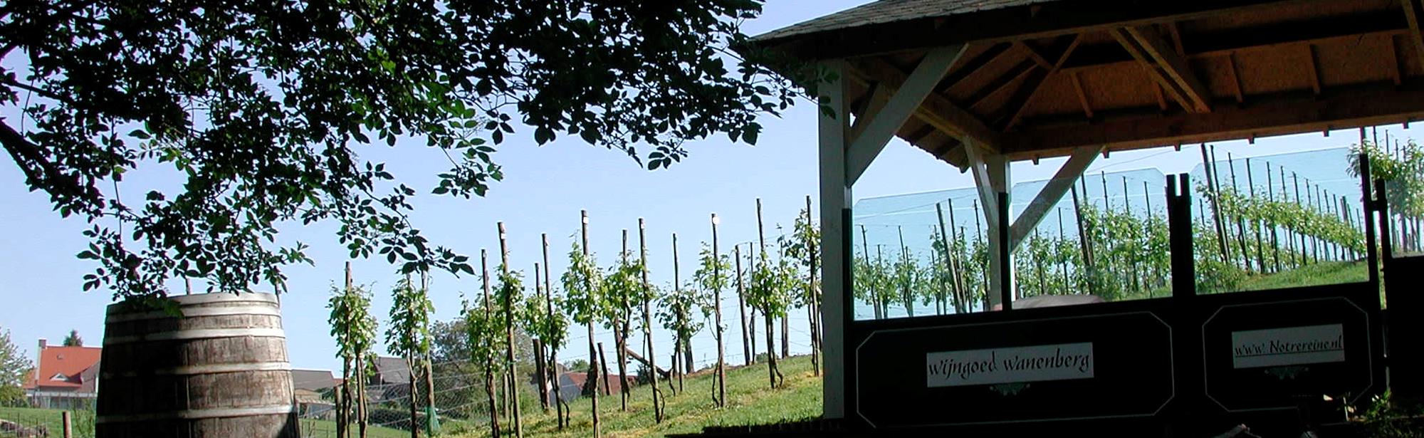
The Wanenberg is a hill with a height of 100 meters above NAP. It is located between the towns of Munstergeleen, Windraak and Puth and is part of the Geleenbeekdal nature reserve. The hill forms part of the western escarpment of the Plateau van Doenrade along the Geleenbeek valley.
The Wanenberg is actually an old river terrace, which has shaped the river Maas during history by changing its course. The steep slopes form the transition from the high terrace (the plateau) to the middle terrace (the valley). Due to the creation of the Steengrub, a dry valley or grub that cuts through the plateau on the southern side of the hill, the Wanenberg became a round bulge that is now surrounded on two sides by valleys.
The difference in height between the top and the foot of the slopes of the Wanenberg is approximately 35 meters. The slopes are covered by remnants of slope forest, which line the agricultural fields on the top. The main remnant of this hillside forest is the Hondskerk, in which nature organization IVN has developed a botanical garden. Parts of the Wanenberg/Hondskerk have been managed by the Vereniging Natuurmonumenten since 1997.
From the edges of the Wanenberg one has a wide view over the Western Mining Region. The municipality of Schinnen has set out several marked hiking trails on and around the hill. The Wanenberg is popular with cyclists because of its climb, which has an average gradient of 5.1 percent. The steepest part of the climb has a gradient of around 8 percent.
This text has been automatically translated using an online translation service.
Itineraries in the area
Interesting in this area!
Welcome to Zuid-Limburg!
It’s great that you are here to be inspired!
We use cookies for the purposes of analysing our
website and improving functionality.
Do you want to discover Zuid-Limburg to the maximum?
For further information, please read our cookies policy.
Cookies are small files of information stored by your browser on your computer whenever you visit a website, and that are used, for example, to remember your personal preferences. They provide us with information about how you use our website. We can then continue to improve the website and make it even easier for you to discover Zuid-Limburg.
Functional cookies
For www.visitzuidlimburg.com to function optimally you need cookies. These cookies cannot be switched off and so they are included here for information purposes only. This means that www.visitzuidlimburg.com uses cookies to record whether the website visitor accepts the cookie notice or registers to receive, or not to receive, our newsletter.
Analytical cookies
Analytical cookies provide us with information about the ‘browsing history’ of visitors to our website. We use this information to make our website a little better, day by day. These cookies provide us with an overall picture of surfing behaviour in anonymized form.
Marketing cookies
These cookies help us to tailor advertising to your interests, so that you do not receive irrelevant information.
Personalisation
These cookies enable us to provide you with information that is tailored to your interests, based on the information you were looking for on previous visits to our website.
You can change your cookie settings at any time by changing the settings here or by (locally) deleting the cookies.